Contexts
(Re)colonizing Tradition
A Pedestrian Guide to a "Traditional" City
Welcome to Bhaktapur
[1] The Tea Stall at Guhepukhu
[2] Nava Durga Chitra Mandir
[3] Khauma Square
[4] Tourist Motor Park
[5] Indrani Pitha
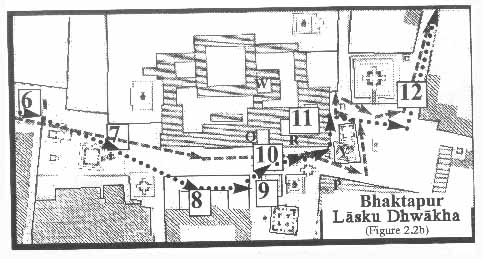
[6]Lasku Dhwakha Gate
[7]Char Dham
[8]Cafe de Temple
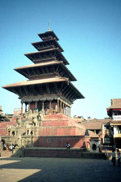
[9]Batsala Temple
[10] Batsala Temple
[11] City Hall
[12] The Procession Route
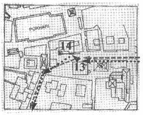
[13] Pujari Math
[14] The Peacock Restaurant
[15] Sewage Collection Ponds
[16] Bhairavanath Temple
|
Welcome to Bhaktapur I:
Bhaktapur
Bhaktapur, a Nepalese city of approximately 80,000, rises up on the northern bank of the Hanumante River. The city sits on the eastern side of the Kathmandu Valley, a roughly circular bowl‹ 15.5 miles along its east-west axis, 12 miles at its greatest width, and with a base area of 218 square miles. The valley lies approximately 1,350 meters (4,400 feet) inside the Himalayan foothills, and to the north, on a clear day, the snowy ranges of the Himalayas are visible. The valley is the bed of an ancient lake, and its rich alluvial soils have been farmed intensively. The climate is temperate but monsoonal. It is rare during winter for the temperatures to drop below freezing. The summers begin hot, dry, and dusty but cool off with the onset of the seasonal rains.
  
|
Maps
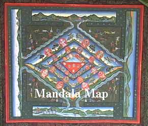
Mandala Map
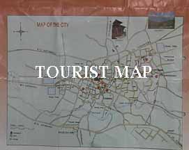
Tourist Map
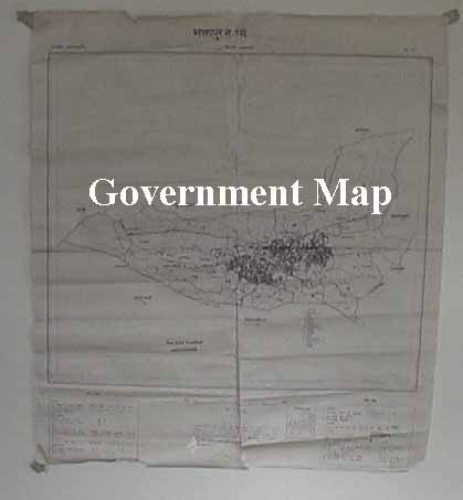
Government
Map
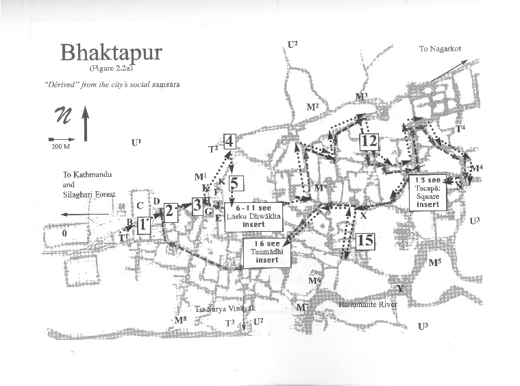
Pedestrian
Tour Map
Bhaktapur
Durbar Square
Tacapa Map
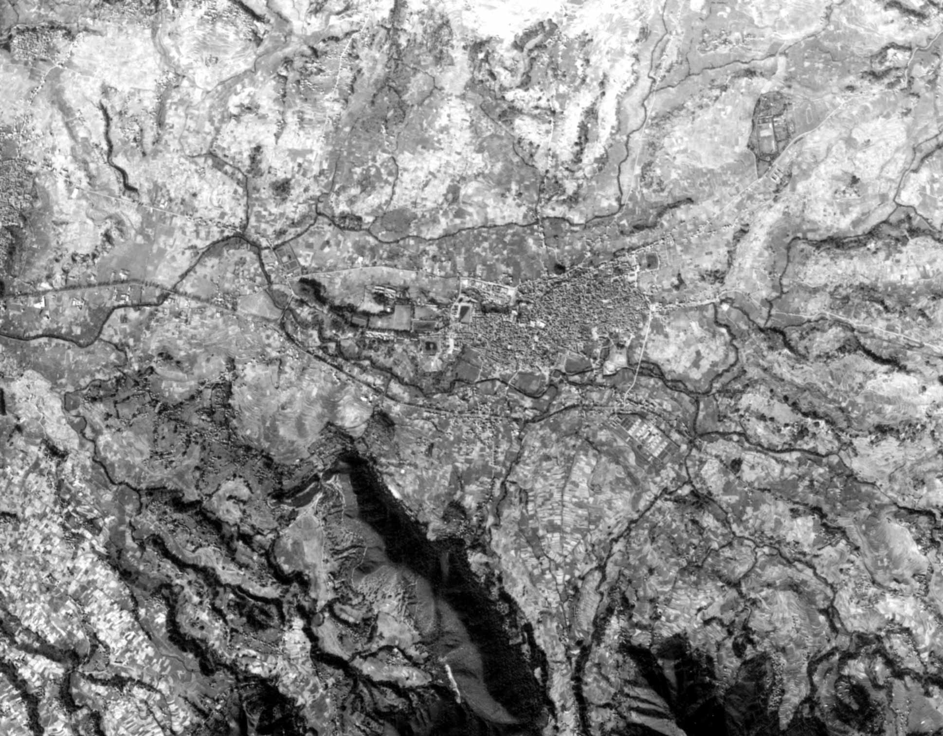
Satellite
Photograph
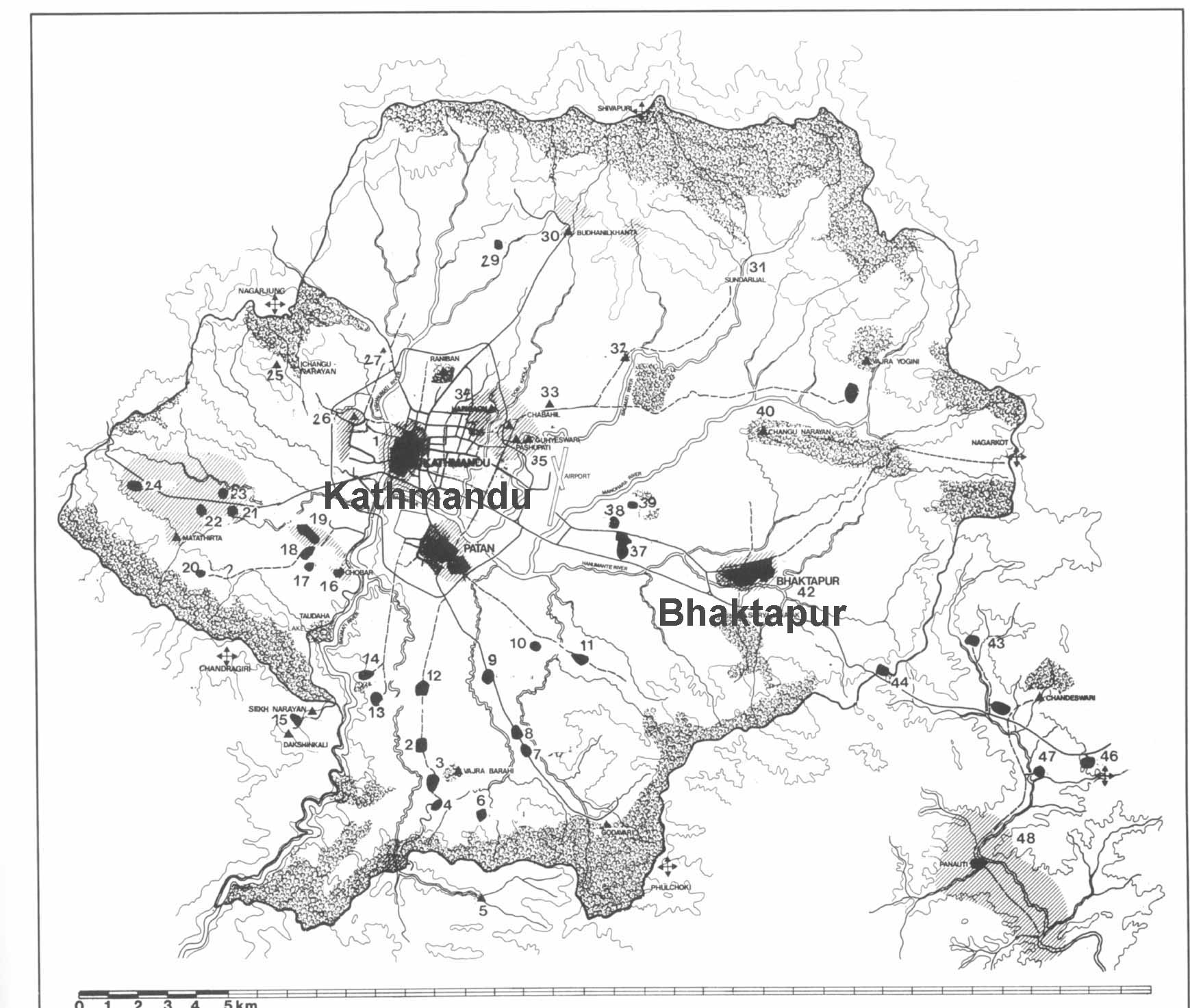
Kathmandu
Valley
Goddesses
|