Contexts
(Re)colonizing Tradition
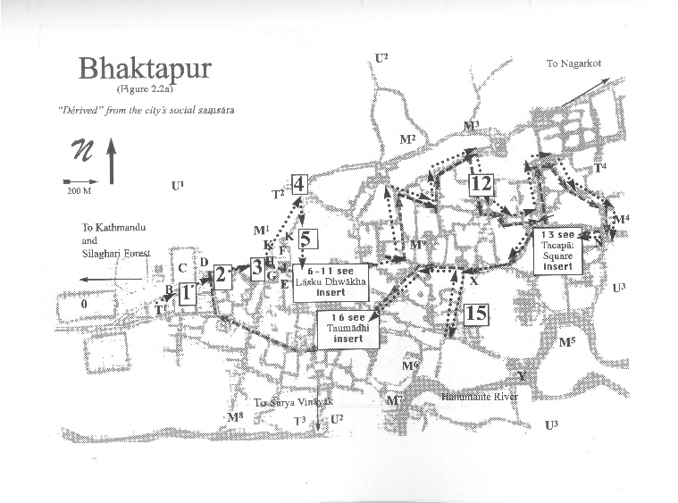
A Pedestrian Guide to a "Traditional" City
Welcome to Bhaktapur
[1] The Tea Stall at Guhepukhu
[2] Nava Durga Chitra Mandir
[3] Khauma Square
[4] Tourist Motor Park
[5] Indrani Pitha
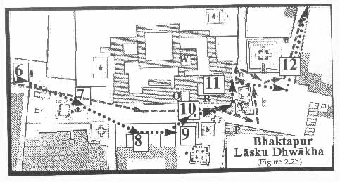
[6]Lasku Dhwakha Gate
[7]Char Dham
[8]Cafe de Temple
[9]Batsala Temple
[10] Batsala Temple
[11] City Hall
[12] The Procession Route
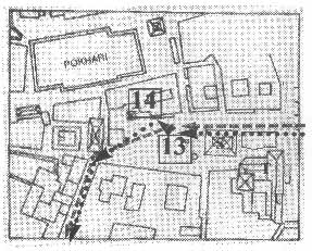
[13] Pujari Math
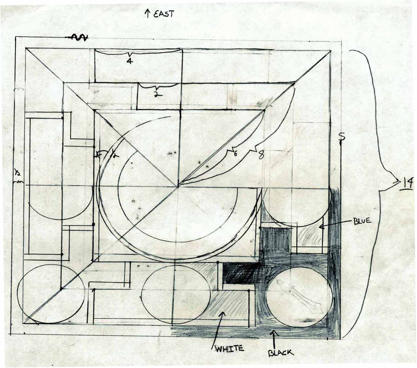
[14] The Peacock Restaurant
[15] Sewage Collection Ponds
[16] Bhairavanath Temple
|
The Tourist Map
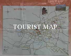 Folding back the third flap displays the "Map of the City" (12 by 8.25 inches ). The map shows the main streets in the city, ponds and rivers, and transportation sites and main squares. There are also ten numbers that indicate the location of monuments that are correlated with the photographs. For instance, number "1" corresponds to Nyatapola Temple [L], while number 2 corresponds to Wakupati Narayan Temple [N]. The map also shows the roads that lead to the nearby attractions of Nagarkot and Cha (n)gu Nararyan. Folding back the third flap displays the "Map of the City" (12 by 8.25 inches ). The map shows the main streets in the city, ponds and rivers, and transportation sites and main squares. There are also ten numbers that indicate the location of monuments that are correlated with the photographs. For instance, number "1" corresponds to Nyatapola Temple [L], while number 2 corresponds to Wakupati Narayan Temple [N]. The map also shows the roads that lead to the nearby attractions of Nagarkot and Cha (n)gu Nararyan.
  
|
Maps
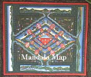
Mandala Map
Tourist Map
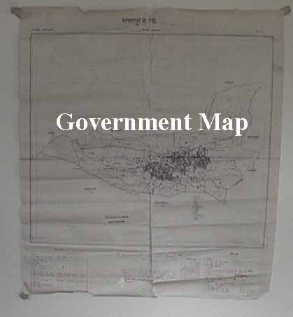
Government
Map
Pedestrian
Tour Map
Bhaktapur
Durbar Square
Tacapa Map
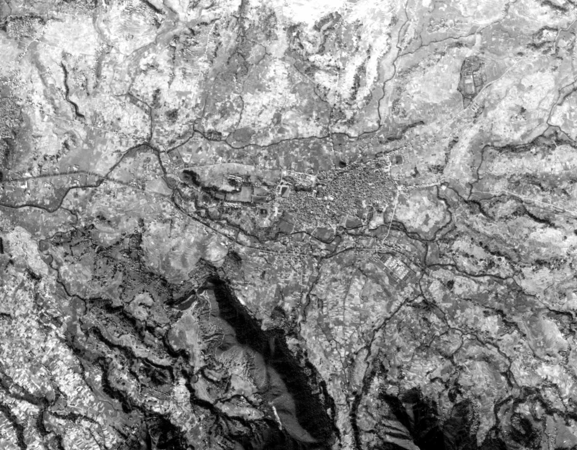
Satellite
Photograph
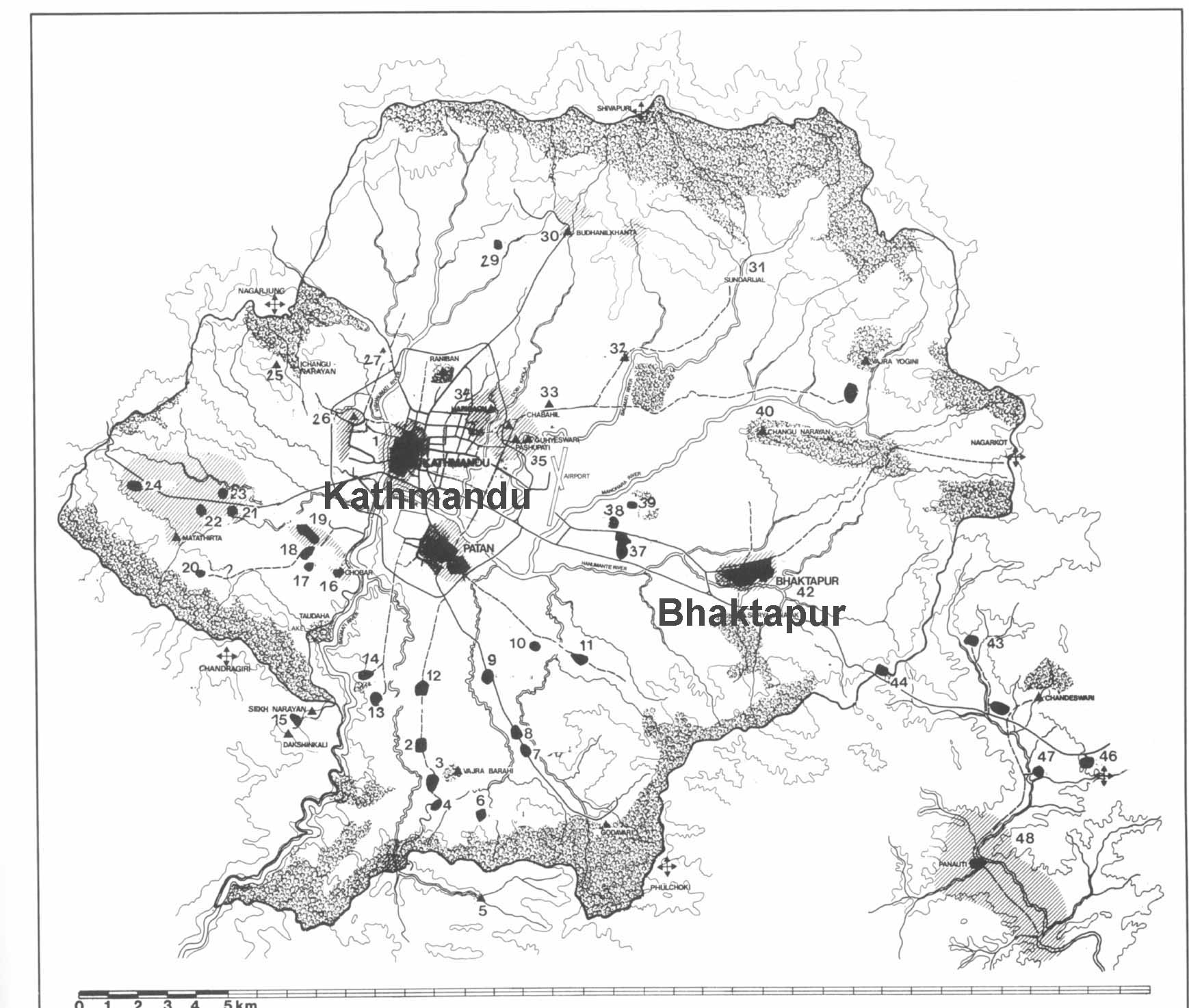
Kathmandu
Valley
Goddesses
|