Contexts
(Re)colonizing Tradition
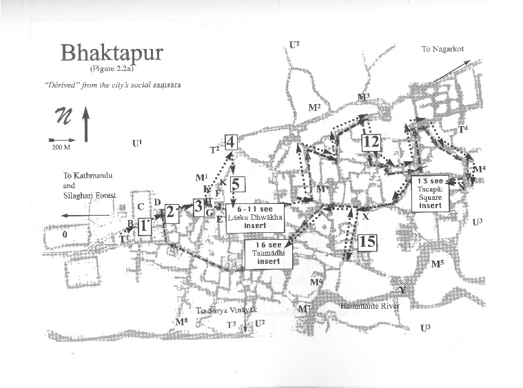
A Pedestrian Guide to a "Traditional" City
Welcome to Bhaktapur
[1] The Tea Stall at Guhepukhu
[2] Nava Durga Chitra Mandir
[3] Khauma Square
[4] Tourist Motor Park
[5] Indrani Pitha
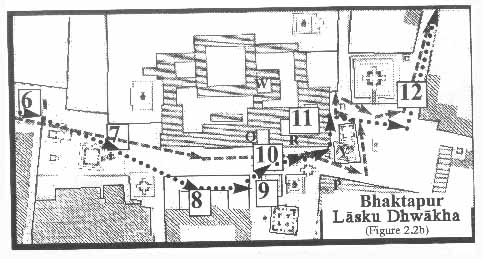
[6]Lasku Dhwakha Gate
[7]Char Dham
[8]Cafe de Temple
[9]Batsala Temple
[10] Batsala Temple
[11] City Hall
[12] The Procession Route
[13] Pujari Math
[14] The Peacock Restaurant
[15] Sewage Collection Ponds
[16] Bhairavanath Temple
|
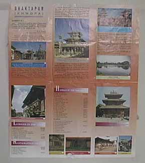
The Tourist Map
 Folding over the "Map of the City" displays a surface that is 12 by 16.5 inches and is made up of six panels (4 by 8 inches). Folding over the "Map of the City" displays a surface that is 12 by 16.5 inches and is made up of six panels (4 by 8 inches).
Starting in the first panel, on the upper left-hand side, is the title "Bhaktapur (Khwopa). The text on the upper three panels describes Bhaktapur as a city of tradition where the "peasantry and artisans still celebrate age-old festivals." It goes on to tell about continual invasions by intruders, King Yaksha Mall[a]ąs fortification of the city and the installation of the eight mother goddesses, and the harmony between Hindus and Buddhists. It ends by endorsing the municipalityąs efforts to preserve the city and local environs and hoping that the touristąs "Sojourn, be it a prolonged or a brief one" is "blissful and perpetual." The lower three panels are lists of lodges, restaurants, and hotels. Spread throughout the six panels are eleven photographs and corresponding numbers that indicate their location on the map.
  
|
Maps
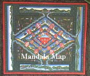
Mandala Map
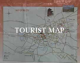
Tourist Map
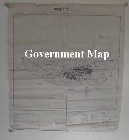
Government
Map
Pedestrian
Tour Map
Bhaktapur
Durbar Square
Tacapa Map
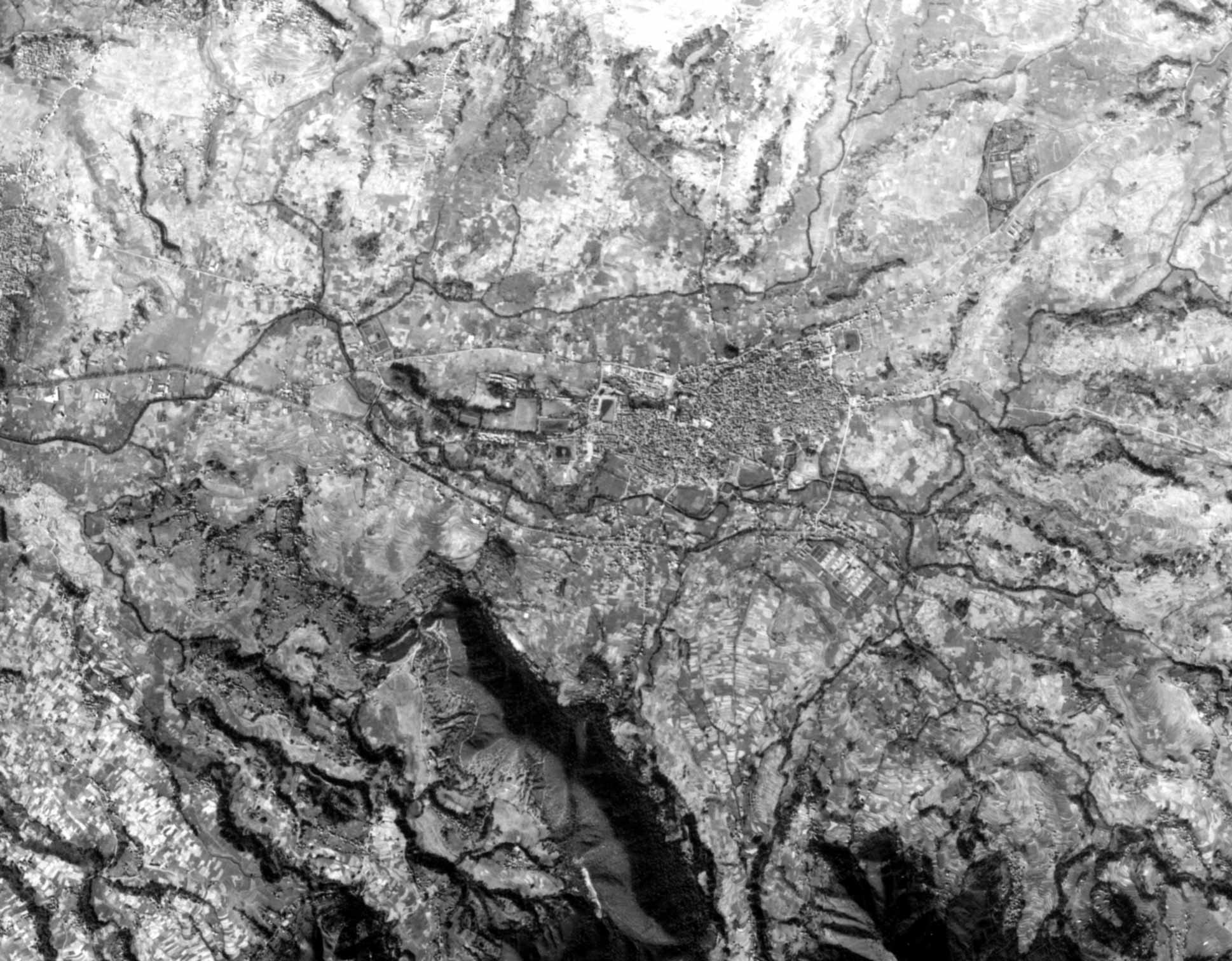
Satellite
Photograph
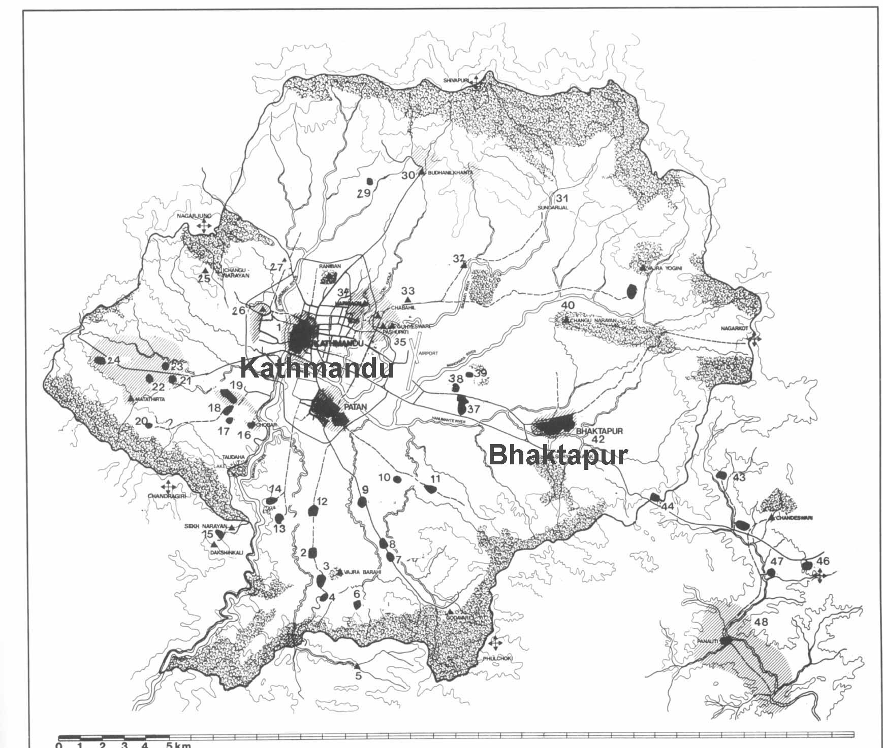
Kathmandu
Valley
Goddesses
|